Mar 102007
 

Versiune în română

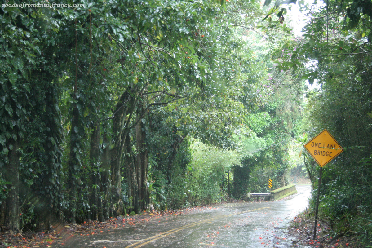
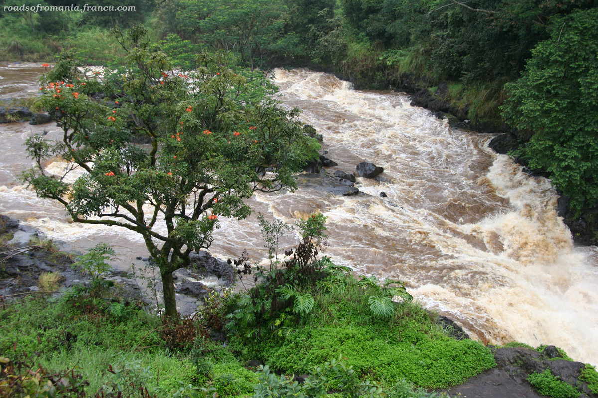
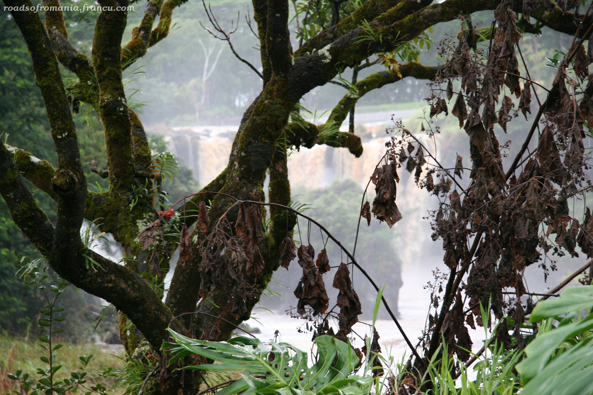
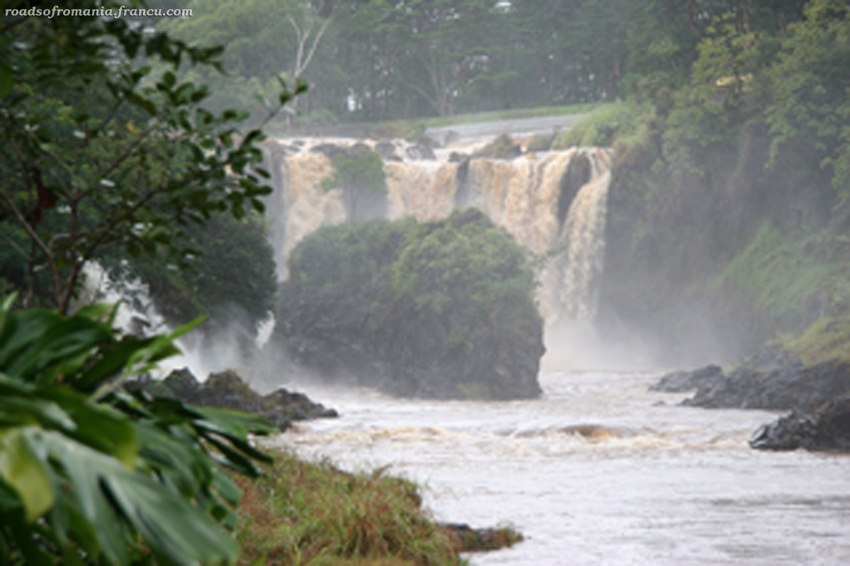
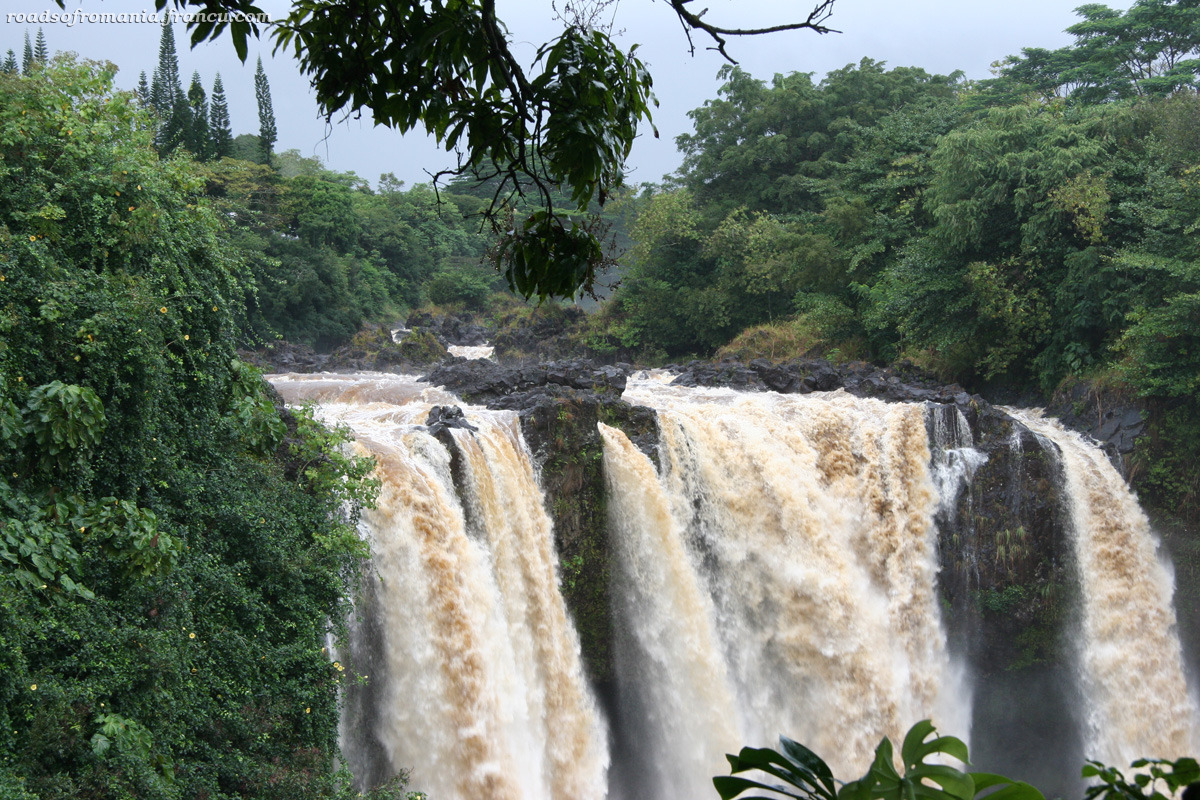
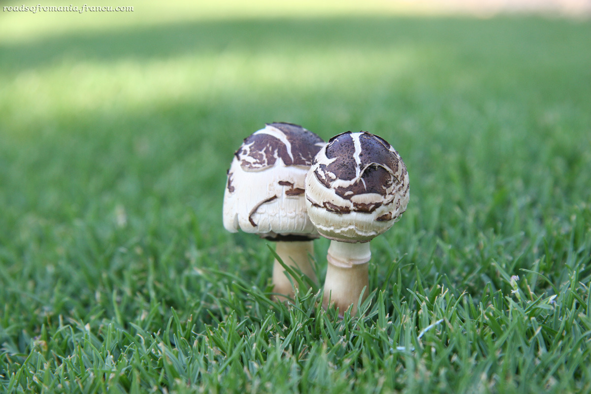
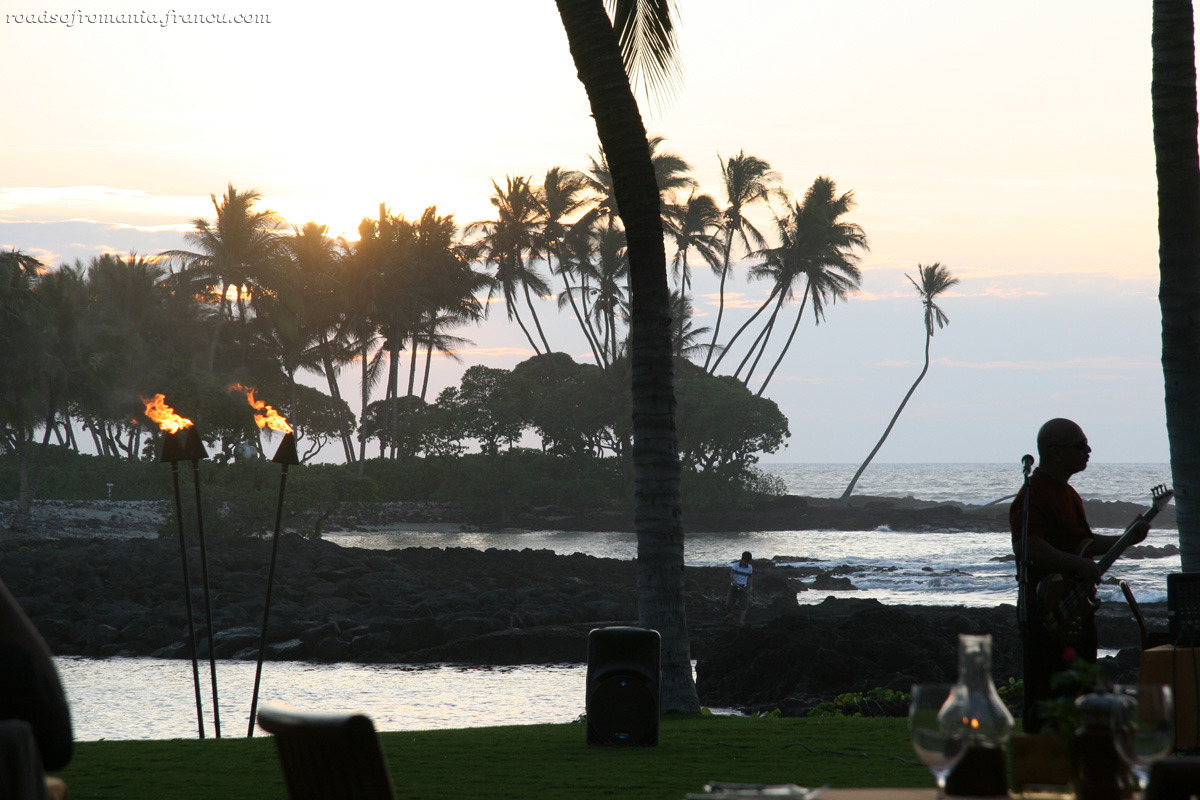
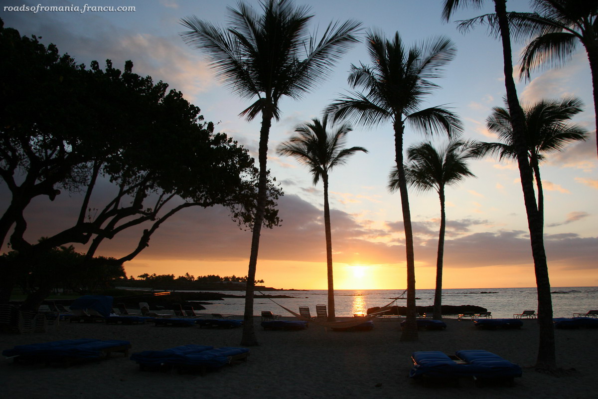
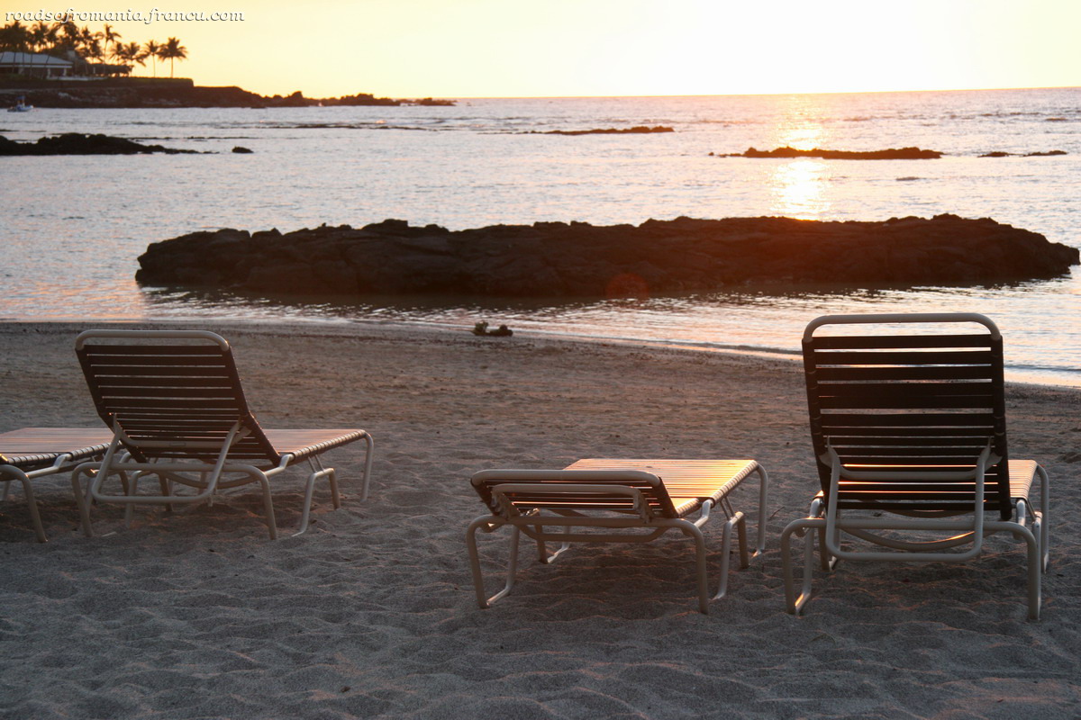
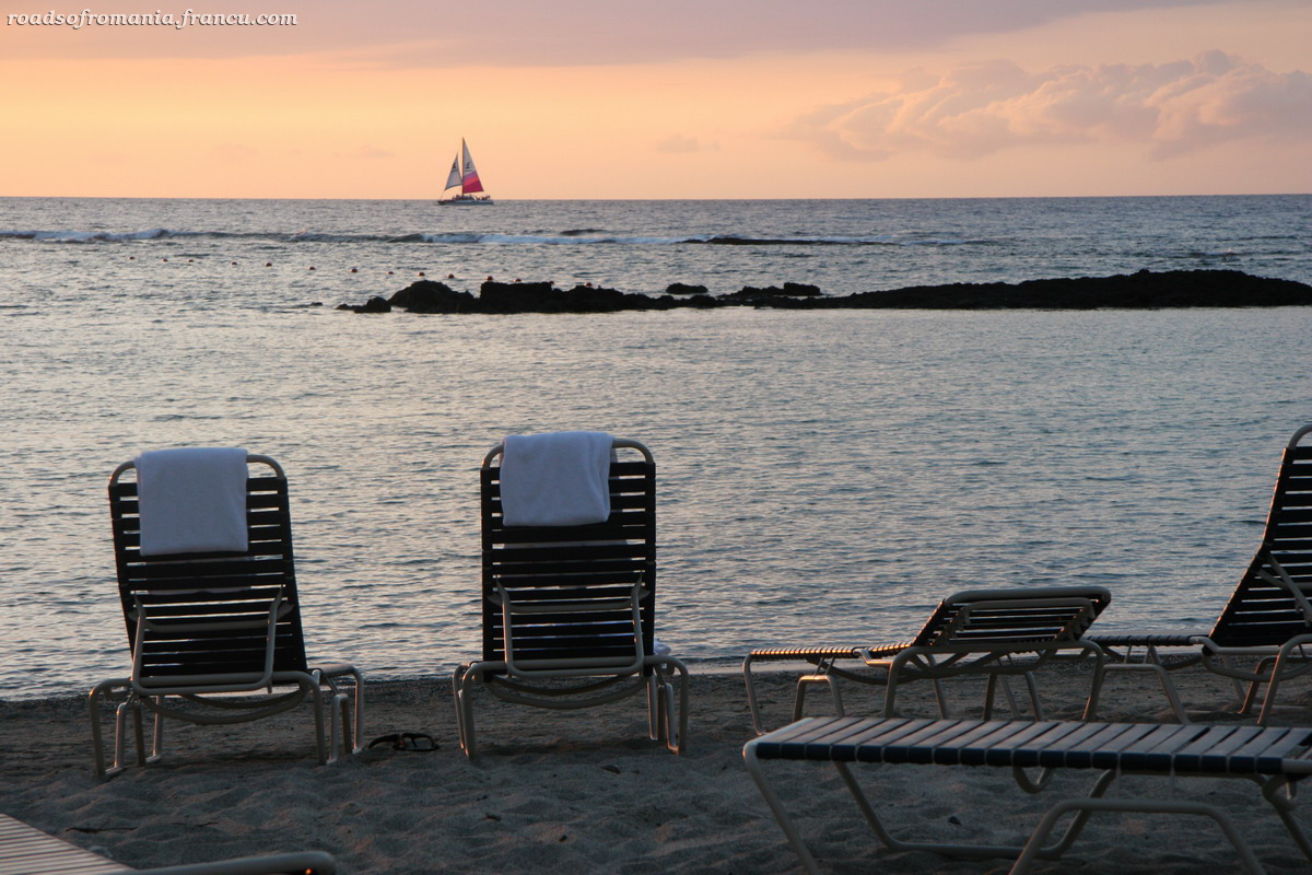
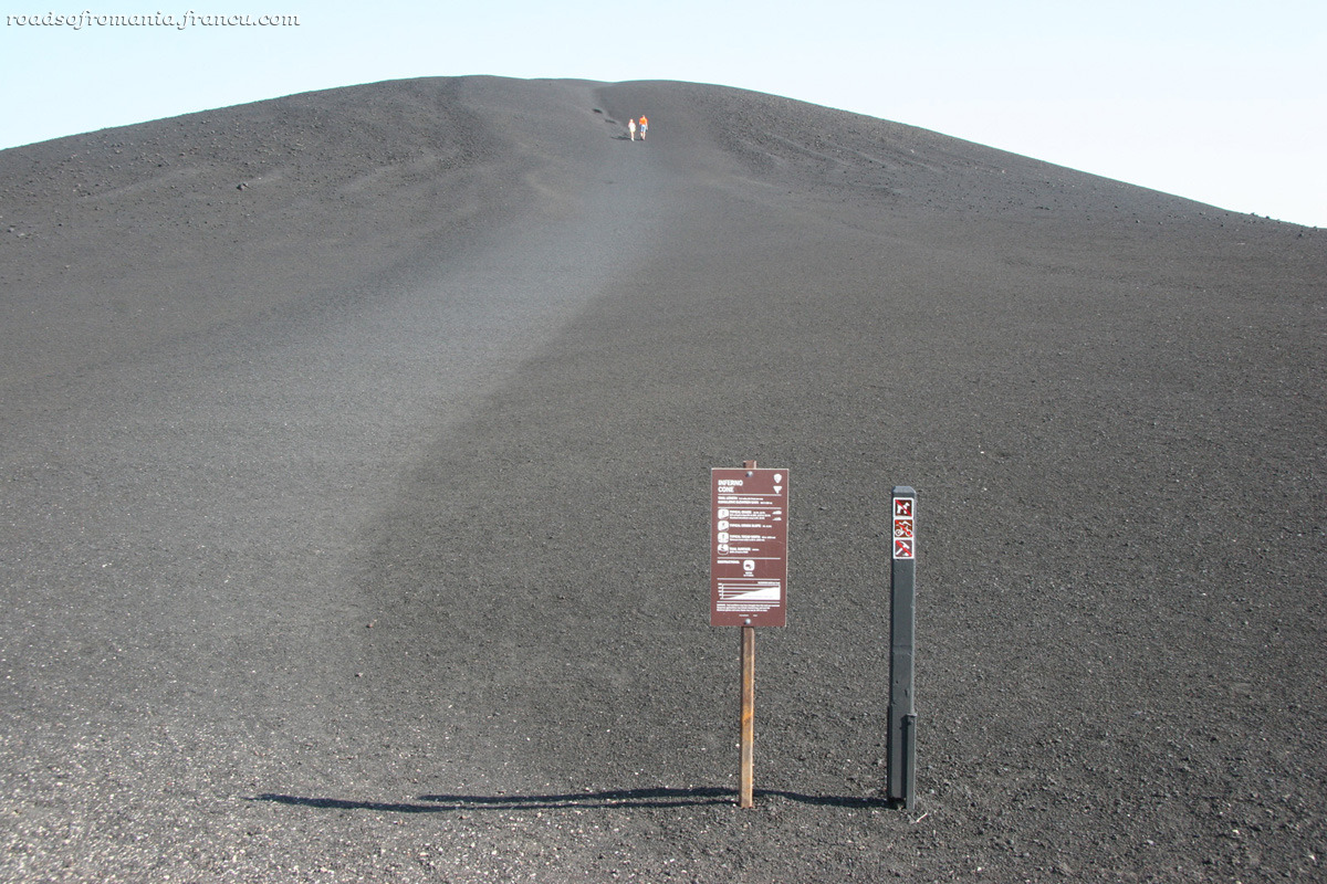
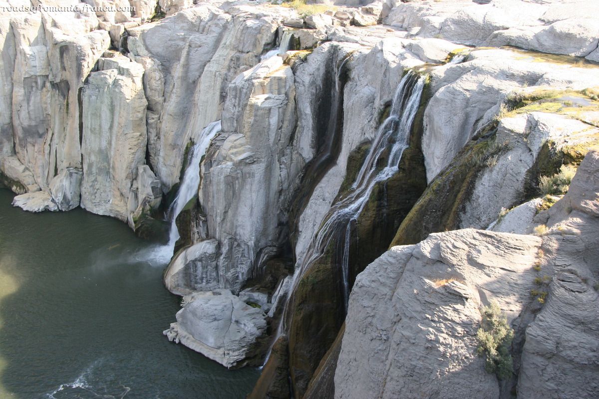
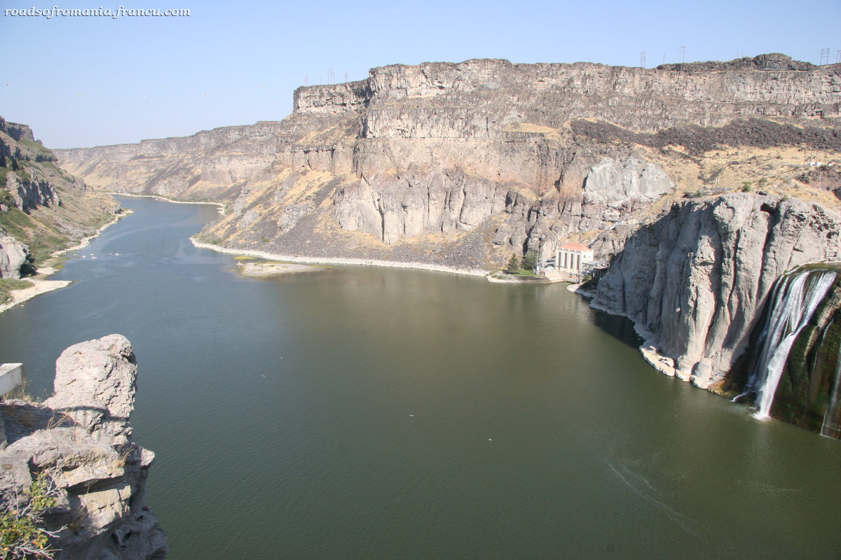
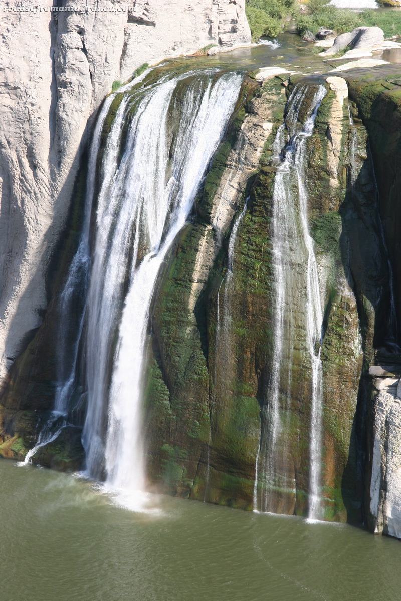
Big Island, Hawai’i, 3rd Day. All three Hawaiian islands that we visited so far have one thing in common: their west side is dry and gets lots of sun while their east side is … my travel guide says “green” but I’ll translate that for you and call it as it is: rainy. In the summer staying on the green side is not a problem but in the winter it rains a lot. Otherwise the temperatures in Hawaii are pretty much the same all year with this one exception: on the east side it rains more, especially during winter. It goes without saying that this being the beginning of March, I booked a room in a hotel on the west side of Big Island. Even though the volcano that we wanted to visit was on the east side and the fact that I understand that rain is good for the earth, I still didn’t want to see lots of it on my vacation. So on the third day came the time when we drove to the wet side of the island. The weather forecast sounded resonable with a prediction of “scattered showers”. The weather people in Hawai’i surely have a very developed sense of humor because what we found was this: they weren’t showers because by showers I understand a fall of rain of short duration, short underlined; they were rather downpours lasting all day; also they weren’t scattered, rather it was raining everywhere. Later that day we found out that the weather report is a bit of a joke around locals. Apparently they predict the same forecast every day. We drove through rain for hours and tried to get out of the car here and there, but in most places the rain was so heavy that you couldn’t see anything, much less enjoy it. We went all the way to the volcano but no luck there as well. What we found was rain with a new element of surprise, fog. On the way back to the hotel we caught a gap of about 20 minutes in the downpour and we managed to get out of the car and admire two waterfalls, Pe’epe’e and Rainbow. After that the rain started again. I was happy to return to the west side.

Mar 072007
 

Versiune în română

I had great plans for our second day on Big Island but it wasn’t to be, I had to rethink everything because of the weather. I was planning on a 4 miles hike but when we approached the start of the trail it started to rain and fog was rolling in so we turned around and drove northwest. The highway climbed to 3000 feet rapidly. Where I grew up I’m used to seeing fir-trees when we get to this elevation but here it was just pastureland and even a few cacti sprinkled here and there. We passed a few little towns and stopped at Pololu Valley overlook. The view was of a small black sand beach surrounded by soaring cliffs and it was beautiful. Living in northern California spoiled me a bit, because truth is I’ve seen many valleys like Pololu. There’s three per mile if one drives down Highway 1 from San Francisco to Monterey, granted not with volcanic sand. I liked the view but I didn’t think it was so exceptional as my travel guide described it. We hiked down into the valley, a short hike on a clearly marked path. As we got closer to the beach we were surrounded by a horrible stench and soon we discovered the source: a dead cow covered with flies. How the cow got there I have no idea. If it was near the cliffs I would have asummed that it fell but it was right in the middle of the beach. The beach was very rocky, with big and small bolders and the occasional patch where the bolders were grinded into coarse black sand by the ocean. We walked around, took some pictures and started on our return. At some point Cris was telling me about an article that he read about how plants produce methane and I guess I was so taken with the subject, my mind wandering off in all directions that I mistepped and took a nasty fell. I didn’t break anything but I got a big bruise which started to bleed a bit. I don’t even remember when I fell last, probably more than 10 years ago. I kept looking at the bruise on the hike back, like it was something that I’ve never seen before. I hope I’m not turning into a hypochondriac.

Back on the highway we stopped in Kapa’au and took a picture of the statue of Kamehameha the Great, who’s probably the greatest Hawaiian king, the one who conquered all the islands, excuse me, the one who “united” the islands. We left the highway to get to a heiau – a Hawaiian temple – but no luck there as well; the unpaved road was too muddy and we were afraid the car will get stuck. To use the remaining daylight we took a stroll around the fish ponds at the Mauna Lani resort. After that it was time for the second sunset of the trip.

Mar 012007
 

Versiune în română

As many of my friends know already I’m not a beach person. I don’t dread going to the beach in fact I might even enjoy it a few times a year. But I tire quickly of life at the beach and most of the time I feel I would rather go hiking in the mountains than lying flat on a piece of sand. Cris loves the beach, of course. We often trade a day at the beach for a day of hiking which is good because we end up going both places, getting a taste of both experiences.

You could say we are lucky to live in California for part of the year, because California has both beaches and mountains just hours apart. But the beaches of northern California are not swimable, not without a wet suit and a lot of courage 😉 In my six years of living in San Francisco I was able to swin in the ocean only once; it happened in Santa Cruz, 2 hours south of San Francisco and my legs were paralyzed by the cold the entire time. I will probably have to pay the price for this in my old years 😉 And so we managed to find a place, 5-8 hours away from San Francisco that has both mountains and beaches, a place where one can swim without freezing. First time we went to Hawai’i it was almost by accident. I would probably not have chosen Hawai’i as a destination on my own. As I said, I’m not a beach person. I didn’t know much about the 50th US state and little that I knew had to do with images of perfect beaches. I had five days of vacation left out of the “generous” 15 days per year that my company was granting to its employees. The company’s policy didn’t allow for vacation days to be carried over to the following year. Plus I was not to leave US because I was still waiting for my working visa. Some friends were going to Kauai for a conference and this is how we ended up going to Hawaii in december of 2001. As soon as I started planing the trip I realized that Hawaii is much more than its beaches. I loved it in Kauai. Next came Maui in April 2005. This was when I discovered snorkeling and I started to like the beach a little bit more. After Maui Cris and I were talking that we probably won’t return to Hawai’i. Been there, done that, there are other places in the world worth seeing. What made me rethink this decision was the fact that I wanted to see the Hawai’i Volcanoes National Park on Big Island.

On Sunday morning we flew from San Francisco to Kona, Big Island. The plane landed in the middle of a lava field, a desolate landscape but like nothing I’ve ever seen. The Queen Ka’ahumanu Highway that we took to get to our hotel was also cut through this huge lava field produced by a eruption at the beginning of the 19th century. Across the lava field we saw “corral” grafittis, “Bradon loves Jenny” made of white stones. We arrived at the hotel at around 5 o’clock in the afternoon. There wasn’t much time left until dark so we found a place on a beach terrace and sipped Mai Tais while watching the sunset. Since it’s our third time in Hawaii the scenery feels familiar; but as Vincent Vega said in “Pulp Fiction: “It’s the little differences”, and these are what we’re going to look for on this trip. More to come on Big Island.

View on landing


Sunset on the beach

Feb 152007
 

Versiune în română

It occured to me that this year we’re staying home for Presidents Day, something that didn’t happen in the last few years. For me a long weekend always meant an occasion to go somewhere far away, at least 200 miles distance from home. Take the last four years for example. For 2003 President’s Day we went to Death Valley. We decided just a week before President’s Day weekend that we’ll go there and we couldn’t find any accommodation in the park or outside the park for that matter. So we had to take the last room available to us on a 50 miles radius which proved to be a smoking room. I don’t smoke but given my upbringing in Romania I am used to a resonable amount of smoke around me. But this room was something else. I’ve never been in a room that stank so bad in my life. Everything had a lingering smell of smoke, the bedpost, the bed sheets, the lamp, the bathroom, even the remote control. But I was happy to smell it when passing by the reception I counted ten people stopping to ask if there are any available rooms.

In 2004 we went to visit friends in Long Beach. They were busy preparing for a 6 months trip around the world, so we barely spent time with them. I’ve been to Los Angeles before but it was always to visit friends and I never had the time – until this trip – to see the touristic Los Angeles. So for Presidents Day 2004 I got to see Hollywood Boulevard and Mann’s Chinese Theatre and Mulholland Drive. The thing I remember most about LA is that no matter where we went we ended up waiting in traffic on some highway. I-10, I-405, I-710, an endless asphalt jungle passing through endless suburbia.

President’s Day 2005 found us in Joshua Tree National Park. It rained a lot but we kept on hiking and photographing cacti. Our car lost turbo drive and we had to come back to San Francisco driving on I-5 at 40-50 miles per hour (hint: speed limit is 70 on I-5) It took us 9 hours.

Last year President’s Day caught us hiking the Perito Moreno glacier in Patagonia. The trip to Argentina was one that I’ll always remember.

This year we’re staying home in San Francisco.

Oct 052006
 

Versiune în română

Next on our list of things to see in Yellowstone were the Mammoth Hot Springs in the northwest of the park. This one place was a winner too and I couldn’t believe it that this park keeps getting better and better. The hot springs are in fact tiers of cascading limestone terraces in beautiful colors. We left the car in a parking lot and took a walk around the boardwalk. I got really upset when halfway through the walk my camera battery went out. I had a replacement with me but it was securely stored in the car 🙁 which at this point was pretty far away. So I had to put up with not taking pictures which was really upsetting since the springs are a real stand out in a park full of spectacular views. After we finished seeing the hot springs we started on a hike on the Beaver Ponds Trail, a 5 mile loop passing through forests and little meadows and by some ponds good for spotting moose. We didn’t see any moose but the hike was nice. Back in Mammoth Village we saw a herd of elks and to make up for the terraces I took about 50 pictures of the elks. It was nearly sunset when we left Mammoth and I thought that the day had finished but I was wrong. On our way back to the town we passed by a large group of people sitting by the side of the road. We stopped and got out of the car to see what the commotion was about and we saw two little bear cubs playing under a tree. I was just thinking that the mother can’t be far when I heard someone saying “My god, she’s so big”. But I couldn’t see her. Where was she? Finally I noticed she was up in the tree under which the cubs were playing. And she was big indeed. If I ever needed proof that bears can climb trees, it’s all in the past now.

Sep 282006
 

Versiune în română

Next day we went to Grand Teton, a national park located south of Yellowstone. We drove for almost 100 miles. It wasn’t the best day to visit Grand Teton, since it was hazy and one can barely distinguish the silhouettes of the beautiful mountains that are the attraction of the park. Probably the Teton range looked better in the early morning, but our friends got up late and with all the driving we got to the park at around 1 PM. We drove to Jenny Lake in the south of the park, took a boat to the western shore of the lake and hiked a small trail to the Hidden Falls and to a panorama point called Inspiration Point from where we could see the entire Jenny Lake at our feet. All around this area there were signs advising people that bears are in the area: do not try to feed them – who would be crazy enough to try that? – don’t leave your backpack lying around etc. The hike was pretty, even though a bit crowded with people. On our way back through Yellowstone we passed a sign marking “Continental Divide” which I had no idea what it was but later found out – thanks to wikipedia – that it is “a line of elevated terrain which forms a border between two watersheds such that water falling on one side of the line eventually travels to one ocean or body of water, and water on the other side travels to another, generally on the opposite side of the continent”. In this case the Continental Divide separates the watersheds of the Pacific Ocean from those of the Atlantic or Arctic Oceans.

For dinner we decided not to eat in the park like we did the previous days but go to West Yellowstone. At Alin’s insistence we choose a pizza place. I’m not a big fan of pizza so I ordered macaroni and cheese, comfort food for the soul 🙂 In the menu the m&c; of Wild West Pizzeria of West Yellowstone was advertised as “world renowned”. I don’t know if it is really world renowned but it was very good and it reminded me of a dish that we eat in Romania. I have to say that this was the first time that I ate macaroni and cheese which must be a record of some kind since I’ve been living in US for 10 years and m&c; is pretty popular here. They used to serve it in Intel’s cafeteria from time to time but I never had the curiosity of trying it.

Sep 252006
 

Versiune în română

On our second day in the park we went to see the Grand Canyon of Yellowstone. The impressive sheer drop and the canyon’s yellowed walls made for amazing views. We spent the entire day circling the canyon, stopping at different points of belvedere along the north and the south rims, admiring the two waterfalls – the Lower and the Upper Fall formed by the Yellowstone River – and doing short but steep hikes along the two rims. All in all it was a lovely day.

Sep 232006
 

Versiune în română

Our accommodation in West Yellowstone was a rental house way to big for us, but since we were paying by the person it still came cheaper than a hotel. It had four bedrooms, two on the second floor and two in the basement and a living room and a kitchen on the first floor. It came equipped with a cable TV and grill which came in handy in the evenings. The best part about the house was that is was located very close to the park’s entrance so we didn’t have to drive additional miles – the park is big enough as it is.

On our first day in Yellowstone we went to see the geysers and we started with the most famous one. Old Faithful is where everybody goes and we were lucky to get there 10 minutes before it was scheduled to erupt. Old Faithful erupts every 80 minutes and it’s probably the most predictable geyser in the park. Based on the duration of the last eruption, rangers are able to figure out a time frame for the next eruption. There were crowds of people sitting on benches around the geyser perimeter and waiting patiently in a complete silence like some religious ceremony was about to take place and our voices would ruin the experience. It started with some steam and a little spray and then it erupted into a tall stream of water and steam. The show finished and everybody started in the direction of their car but we decided to stick around and see the rest of the geysers in the upper geyser basin.

We followed a trail to the Observation Point up a little hill where we got a good view of the entire basin. On the way to the Observation Point we passed very close by a bison – our first encounter with the creature which used to roam these lands 150 years ago before it was hunted close to extinction during the 19th and early 20th centuries. We were to see many more the following days so I guess they’re no longer endangered. After Observation Point we went around the boardwalk at the upper geyser basin and looked at even more geysers while being surrounded by an all mighty rotten egg smell. Castle Geyser started erupting and it went on for half an hour. We saw Old Faithful erupting one more time, this time from a different angle and we headed for the Old Faithful Inn.

The inn is a rustic looking lodge made of logs dating from the beginning of the century. It’s very impressive looking on the inside and the lobby was full of photographers trying to capture a image of the log work above us. We decided to eat dinner at their dining hall. The badge of the girl at the reservation counter read her name and underneath it “Romania” so I started to talk to her in Romanian. She’s been working on a 3 months temporary contract in Yellowstone and she was very happy to meet us. I guess she didn’t meet many Romanians during those 3 months. But we couldn’t chat long, since there was a line behind me. Cris and Alin tried to be creative when ordering food and they ordered bison and elk but frankly my lamb was much better. From this early dinner we went to catch the sunrise at the middle geyser basin by the Grand Prismatic Spring which colors looked spectacular at dusk.

Sep 212006
 

Versiune în română

Ketchum wasn’t in our initial plan, but we decided to stop there because it was highly recommended by a friend of us. It was a bit out of the way but the detour wasn’t too long. As we were driving towards Ketchum we passed a small field full of American flags. A big sign by the highway read “Flag Memorial”. Someone in the car remembered that the next day was September 11. The memorial looked beautiful and I’m sorry we didn’t stop to take a picture. Ketchum looked a lot like Tahoe City, a town by the shores of Lake Tahoe where we go skiing every winter. It looked nice but familiar, the quintessential American mountain resort. We had lunch on an outside terrace in Ketchum and afterwards drove for 30 minutes past the town through Sawtooth National Recreational Area, an area of forested hills and mountains with beautiful skylines in every direction. Since we had planned for one more stop and had to be in West Yellowstone by 10 PM we decided to turn back and head for Craters of the Moon National Monument.

All the way through Idaho we saw signs marking “Historical Sites”, in fact marking the Emigrant Trail, the road taken in the 19th century by the emigrants from Eastern US to move west towards California and Oregon. Craters of the Moon was a very pleasant surprise. It’s a huge field of cold lava molded in weird shapes. It sits in the middle of nowhere which makes the landscape look even more wild and remote. I hope it stays that way. There isn’t anything active at the moment and the last eruption took place around 2000 years ago but I read on a sign that geologists believe that future events can occur. A seven miles loop road allows access to a small portion of the park. We saw cinder cones, spatter cones and craters and what seemed very exciting to us caves or lava tubes which we decided to explore. We spent about 3 hours on different small trails and hiking through caves and I took tons of pictures. When sunset approached we started on our way to West Yellowstone.

Sep 182006
 

Versiune în română

The first day of the trip wasn’t much to talk about. We drove for 700 miles, passing from California to Nevada and Idaho, ending up in the town of Twin Falls. We left our friends house in Sunnyvale, CA about 10 AM and got to Twin Falls around 11 PM local time. We stopped to eat at a fast food place off Hwy 80 where the food was awful. We spent the time chatting with Laura and Alin, catching up with everything that happened during our four months absence. The scenery was pretty all the way to Idaho. Nevada looked a lot like the desert part of Southern California. Yellow fields stretching to meet the horizon. Black cows here and there. Plus the occasional casino in the middle of nowhere. We were pretty tired when we got to Twin Falls and since we had one more day of driving in front of us, we called it a night soon after we arrived at the hotel.

Next day we managed to get ready to leave the hotel at around 10 AM. The reason for our stop in Twin Falls was to see the Shoshone Falls. I wasn’t expecting much since I read somewhere before the trip that the falls are at their best in April when water flows are high but that the flows diminish significantly over the summer due to irrigation. I figured that wasn’t much left by September. They looked impressive in the pictures I’ve seen on the web but I was sure that those pictures were taken in spring and probably in good years too. We drove for three miles past the main street in Twin Falls and found ourselves at the entrance gate. For $3.50 we were allowed to pass and got a brochure that described the falls as – how else? 🙂 – “The Niagara of the West”. The brochure even boasted that Shoshones are 50 feet taller then Niagara. Unfortunately I was right in my expectations. The falls did not look like the web pictures. They were nice but not that impressive. We took a few pictures and hit the road again, heading for Ketchum.